From the boat launch to Spring Green Road
Besides outstanding striper fishing off Rock Island and easy kayak access to Gaspee Point, the Passeonkquis Cove waterway itself is a hidden gem. The estuary travels nearly to Spring Green Road. The road connects the Gaspee Plateau neighborhood to the Governor Francis Farms and Gaspee Point neighborhoods. Though the waterway itself is very tight as you head west, there is a pool beneath a tree that allows for an easy turnaround without disembarking.
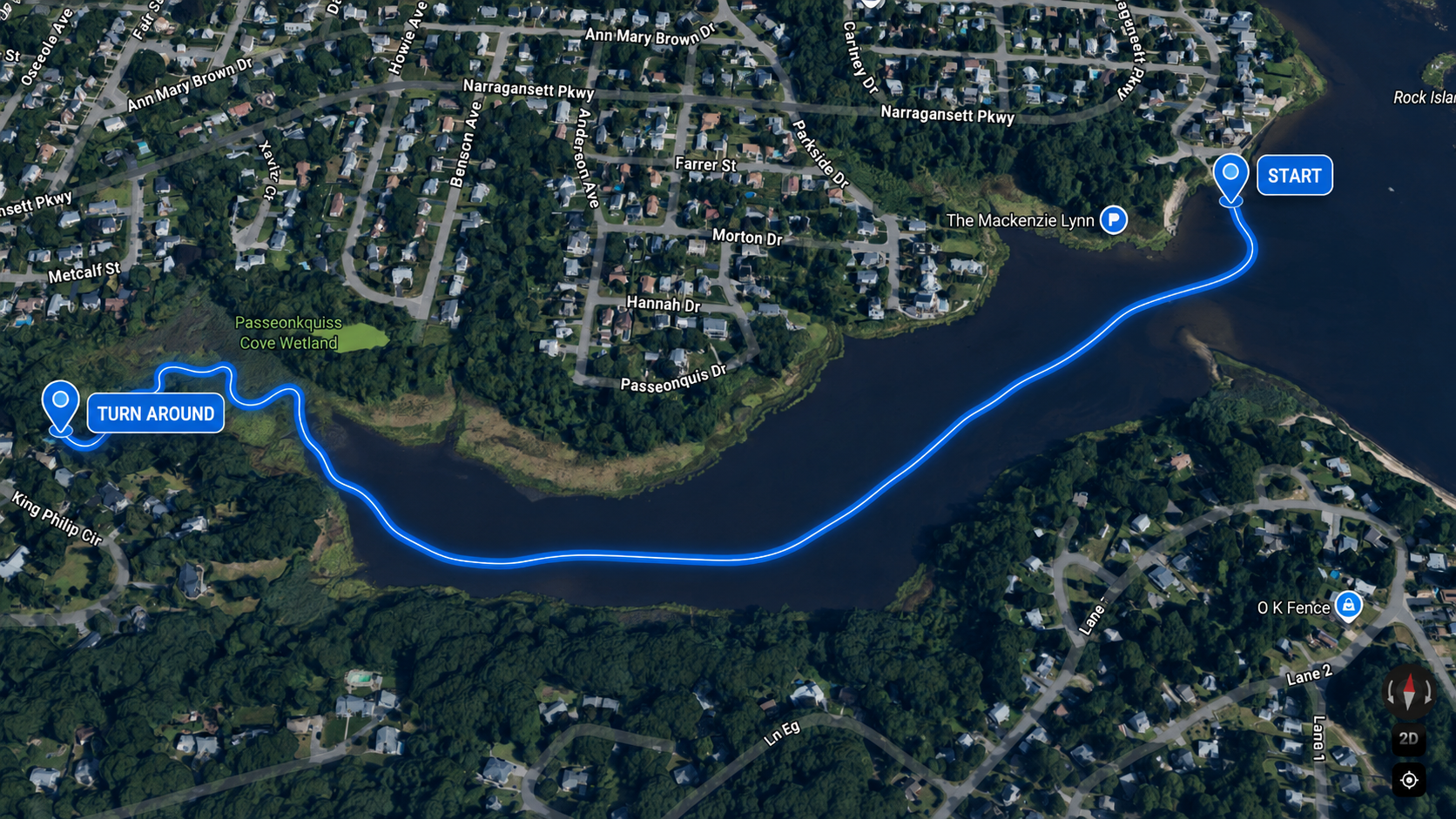
The westerly kayak trail to the Spring Green turnaround deep in the cove rushes.
This trail is best tackled in rising water. The perfect timing is to hit the turnaround at high tide. The channel has about 2’ - 3’ of water in it at high tide; at low tide it may not be passable (but you also won’t be able to reach it). The channel is slightly south of the center of the cove.
In the morning, the sun rises roughly in line with the waterway. Late afternoon light is also excellent. As of June 2026, there are no downed trees or barriers east of the turnaround. The waterway continues west of the turnaround, but is blocked by a large downed tree. Unfortunately, given the location, it’s unlikely to ever be removed, but the trail still covers roughly a mile of water from start to finish, making for an excellent short, flat, and picturesque trip. The trip can easily be extended north to Salter’s Grove, and south to Gaspee Point. For a longer journey (on a calm day), rounding Gaspee Point and traveling through Occupessatuxet Cove is an outstanding paddle, and offers similar wildlife viewing opportunities. Birding in both coves from the water is also exceptional.
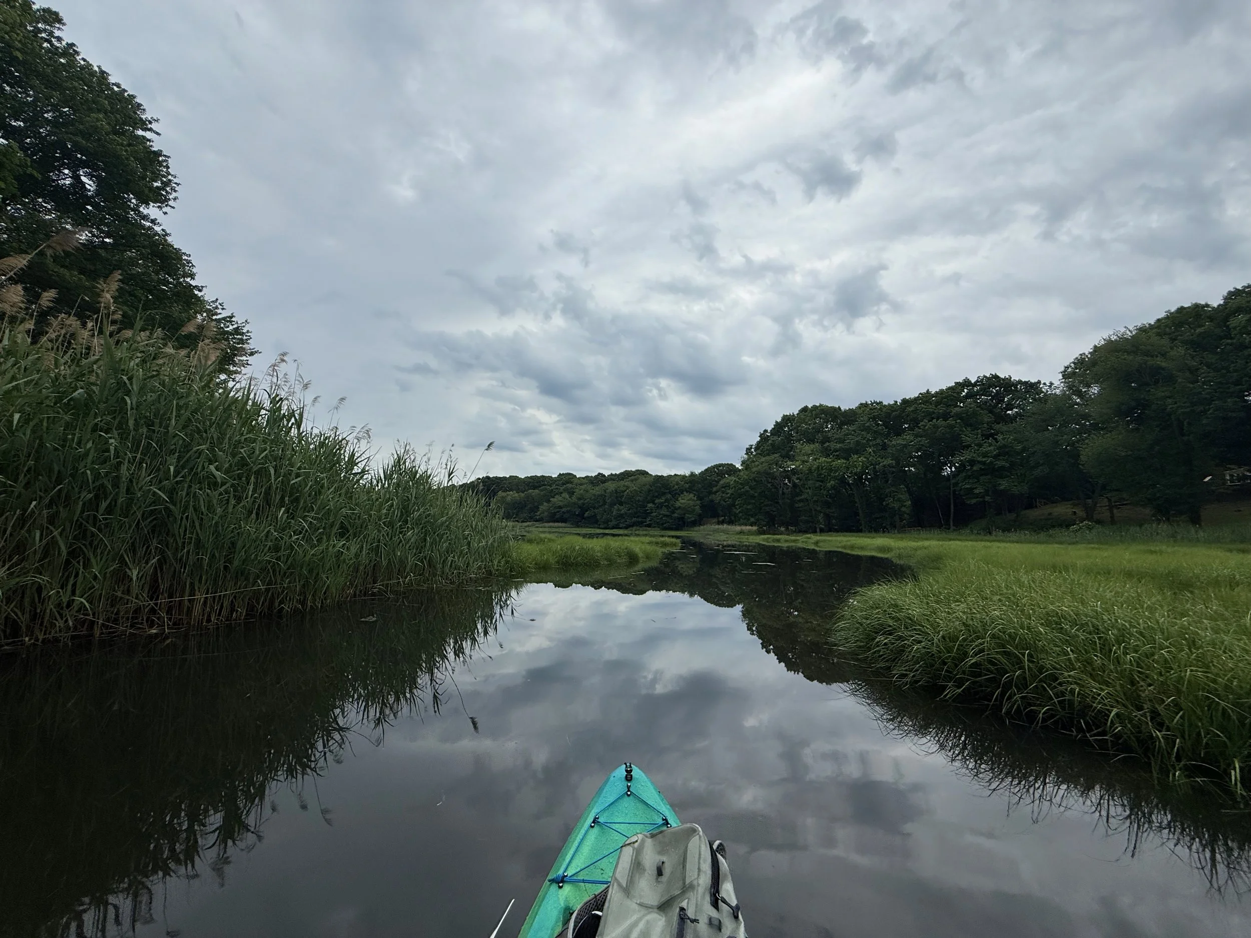
At the halfway point between the mouth of the cove and the turnaround.